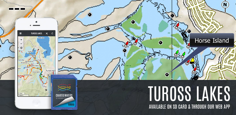
We're excited to unveil the Tuross Lake SD Card and App map.
The Tuross map extends from Bumbo Creek to the mouth and includes contours, boat launching facilities, islands, campgrounds and Navigation Aids. The map displays shallow water (at normal water levels) and deep water all colour coded for ease of use. Bathymetric data is included with updates ongoing as further survey work is completed.
Wagonga Inlet & Corunna Are Also Available
Visit the Charted Waters store.

