FEATURES
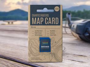
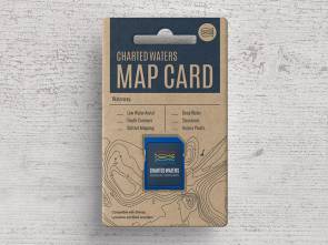
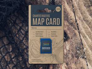
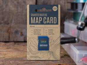
Charted Waters Australian Fishing Maps for Simrad, Lowrance and B&G sounders take underwater terrain to the next level
![]()
Depth Contours
Detailed depth contour lines vividly portray the size and shape of underwater features such as drop offs, humps, saddles and flats - potential gold mines.
![]()
Deep Water
Highlighted deep, intermediate and shallow water areas give a quick indication of the waterways depth, helping you easily identify areas to fish or travel through.
![]()
Markers/Structure
Charted Waters provides locations of navigation aids, ramps and access points, hazards, rivers and creeks, lagoons, islands and more.
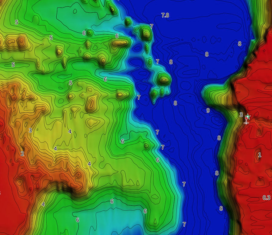
Bathymetric Bottom Mapping
A representation of the lake’s bottom, colour coded to clearly define water depth and help you find more productive fishing grounds. Understanding the underwater landscape will better your chances of finding that next great fishing spot.
Available only on selected maps.
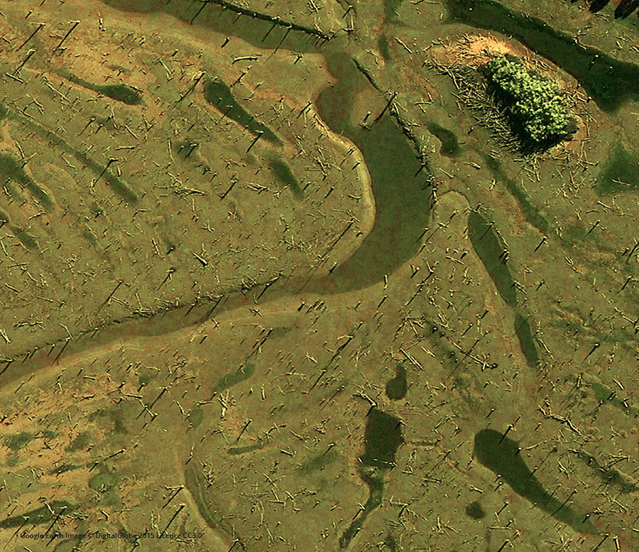
LOW WATER AERIAL IMAGERY
Low water imagery takes your fishing map to the next level, revealing areas you would never find when searching from the water. Easily identify drop offs, structures, unmarked channels, old creek beds and underwater vegetation - areas most likely to hold the most fish.
Available only on selected maps.
HOW IT WORKS
Step One
Insert your Charted Waters Map Card into your sounder
Step 2
Accept/follow any screen prompts
Step 3
Go fishing!
Shop
Choose a Card
Select from a range of lake's & estuary's throughout NSW & Victoria
Our Products
Popular Map Cards
I have more questions, who do I ask?
Check out our FAQ's or write us at [email protected] we’d be happy to help.
Check out our FAQ's or write us at [email protected] we’d be happy to help.
