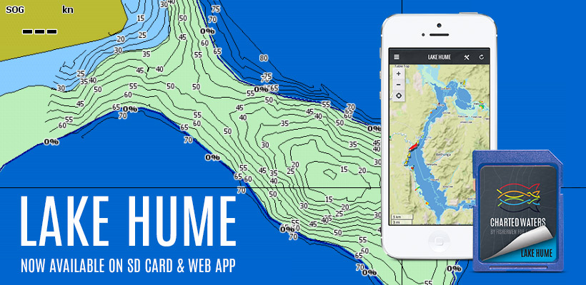
We're excited to unveil the Lake Hume SD Card and App map.
The Lake Hume map extends from Dora Dora on the upper Murray, Mitta Mitta River in the south east to the Murray River below Albury and includes boat launching facilities, islands, campgrounds and Navigation Aids. The map displays shallow water (at normal water levels), intermediate water and deep water all colour coded for ease of use. Bathymetric data is included for some of the more prominent points and islands with updates ongoing as further survey work is completed. Being a current member of Charted Waters you get full & immediate access to all new maps, they are included in your subscription!
Visit the Charted Waters store.

