Add a map to your favourites
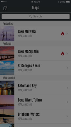
Favouriting a map brings that map to the top of the list for easy access.
- Swipe left on the map in the list
- Tap the ‘+ Fav’ button
- The map will move to the top of the list
Download an offline map
Save Charted Waters maps for offline access, so you can find great fishing spots even when you're off the grid.
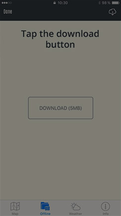
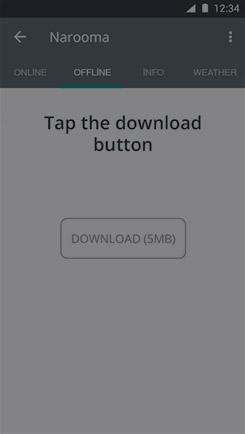
- Tap the 'Offline' tab, then the ‘Download’ button.
- Once the download is complete the map will be displayed on screen.
Map Preferences
Turn map layers on and off, having multiple options gives you the advantage.
- Tap the Map Preferences button (see image below)
- Select which layers you want to show or hide
- Tap save
Display Fullscreen
You have the option to toggle fullscreen mode on & off.
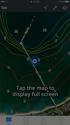
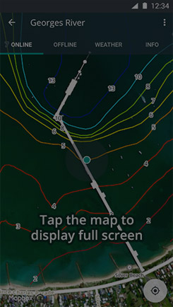
- Tap the map to display fullscreen
- Tap again to exit fullscreen
Location
Tracking your Location
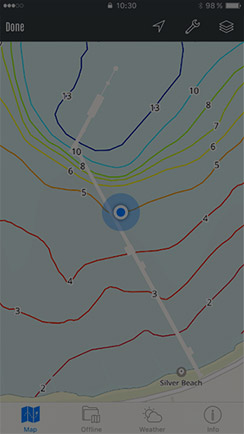
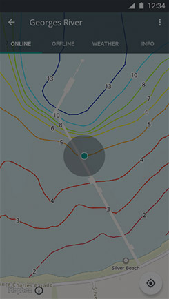
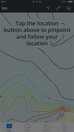
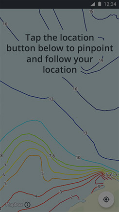
There are 3 options for location tracking... no follow, follow and follow with heading. Tap the location icon to cycle through the available options. The map always starts north up.
Waypoints
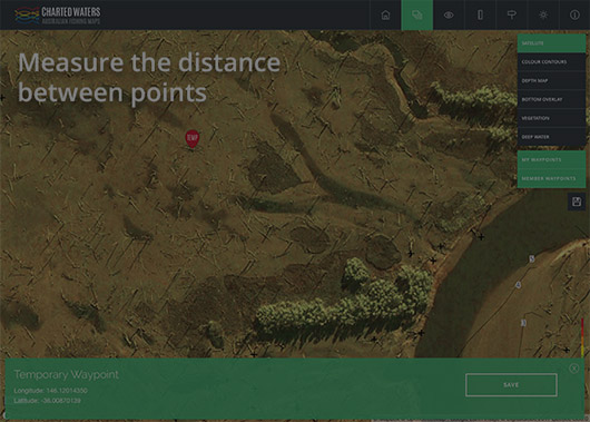
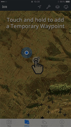
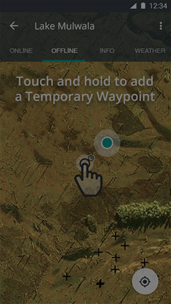
Add a temporary waypoint
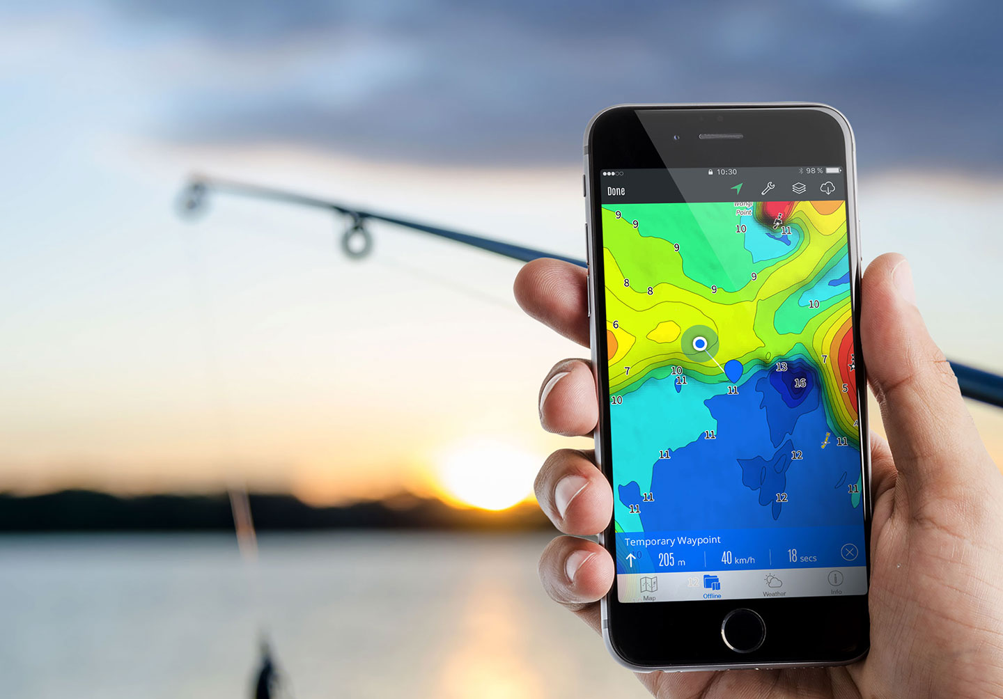
Temporary waypoints are displayed on the map as a red marker, they are useful to quickly navigate between locations or for fishing spots to explore. They are not stored permanently.
- Touch-and-hold on the map or right-click in the web app at the location where the Temporary Waypoint should be created.
- Tap the ‘Temporary Waypoint’ marker to display distance, speed and estimated time to the marker (device only, the web app will display the waypoint co-ordinates only).
- To save the ‘Temporary Waypoint’ tap on the waypoint panel and select save.
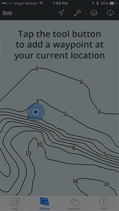
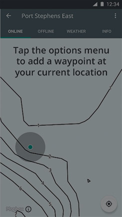
Add a waypoint at your current location
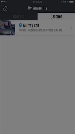
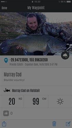
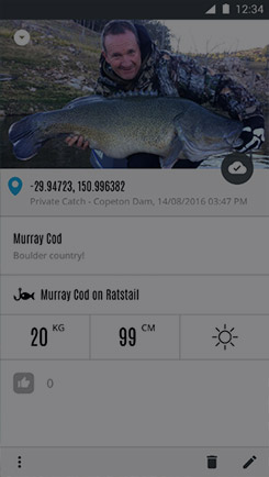
Got a hit or caught a fish, mark it on the map by adding a waypoint at your location.
- Touch the Tools button on iPhone or options menu on Android
- Select the type of waypoint to add - ‘Marker’ or 'Catch'
- Give it a name, a photo and if it's a catch, details on the catch
- Tap 'Save', and the waypoint will be added to your location. (Tip: if you can't see the waypoint make sure they are visible in map preferences)
Sync a waypoint to your account
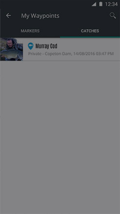
By default all waypoints are saved to your device, however you can sync the waypoint to your account to view on all devices.
- Go to 'Waypoints'
- Swipe left on the waypoint
- Tap the grey sync button (if this is not visible the waypoint is already synced)
Add a catch to the Brag Board
Why not share your catch with other Charted Waters members! You can choose to share your location or keep it a secret.
- Existing Waypoint
- Select the Waypoint (make sure you have added a picture and synced the waypoint to your account)
- Tap on the bottom left icon (share icon on iPhone, dots on Android)
- Select 'Add to brag board'
- New/Edit Waypoint
- Turn the 'Brag' switch on
- To keep your location private make sure 'Share' is turned off
Web App
The web app provides a few extra features to help you plan your next fishing trip.
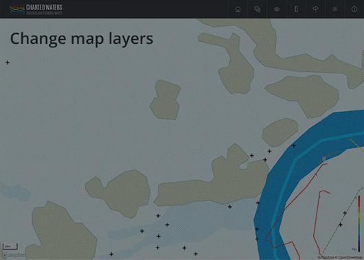
Change map layers
Change map layers by turning map features on and off.
- Click the layers button
- Select the layers to show or hide
- Click the save button to store your favourite combination
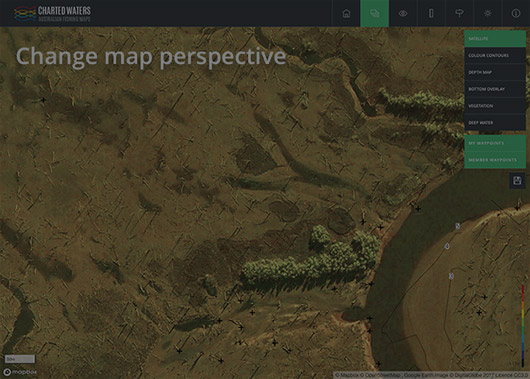
Change the map perspective
Change your map view.
- Click the view button
- Click again to go back to normal
- Use shift + arrow up/arrow down to control the map perspective
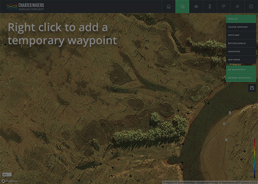
Add a temporary waypoint
Temporary waypoints are useful to mark fishing spots to explore.
- Right-click on the map at the location where the Temporary Waypoint should be created
- Click and drag the waypoint to reposition it
- To save the ‘Temporary Waypoint’ click the save button. This will sync the waypoint to your account allowing you to view it on your device and whilst on the water.
Measure the distance between points
A handy tool to calculate how far you need to travel to reach a point.
- Click the distance button
- Click on the map at the first point
- Click on the map at the second point
- The distance panel below will indicate the distance between the points
- Add as many points as you like
