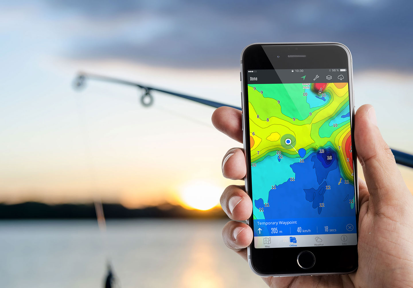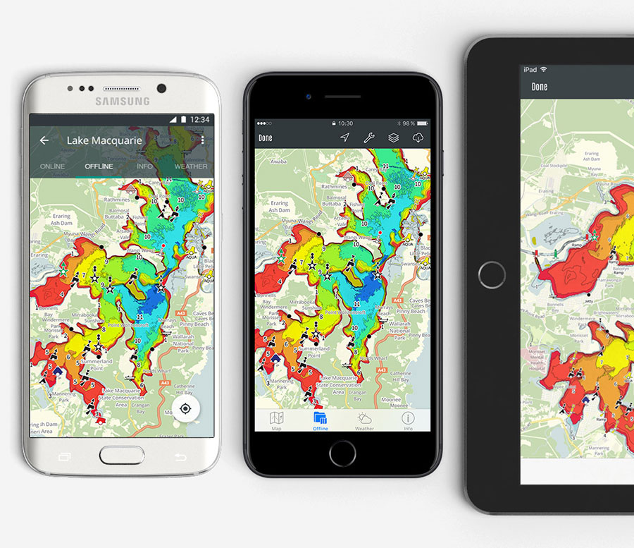
The smarter way to fish.
Fishing maps of popular NSW and Victorian lakes and estuary's to help you find and catch more fish.


Please note: The Android app is no longer supported.
After hundreds of hours of collecting survey data, drawing and plotting a stable of lakes and estuaries, an idea started to become reality. We have now digitised our dream and are thrilled to share it with you - enjoy! Among our favourites are Tuross Lakes, Wagonga Inlet (Narooma) and the king of the stable Lake Mulwala.
We're expanding our map data all the time and look to have charted waters for the majority of Australia and beyond. Stay tuned.
In 2008 two frustrated fishermen were complaining that few, if any Australian lakes and estuaries were mapped for fishing. The USA had plenty of lake coverage and yet here we were sitting in the middle of Lake Mulwala on a moonless night, in the shallows, surrounded by standing and fallen timber wondering if we should start the extremely slow trip back to the ramp. As any of you who have fished Lake Mulwala would know, this is usually a pretty daunting task when visibility is poor. This was the scenario that started a very frustrating, yet rewarding 5 year project.
Imagine a device that would put a mark on a piece of structure, tell you how far it is and point...
I came across Charted Waters Fishing Maps while doing research for our recent Copeton Dam trip and would suggest that anyone...

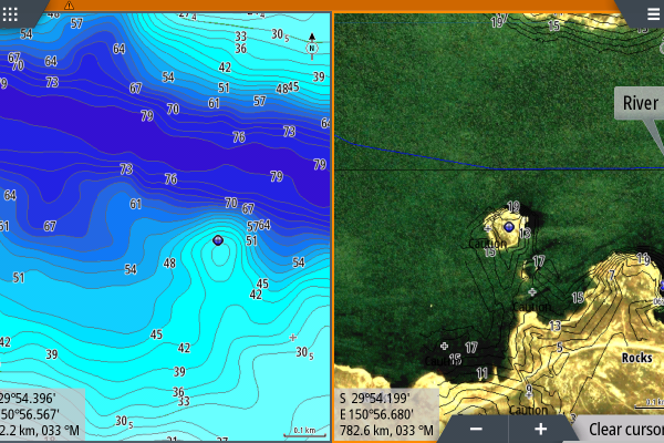
Latest news just out! Copeton Dam is now fully surveyed.Being able to view dual maps with your Charted Waters maps gives...